One of the iconic hikes in New England runs along the
Franconia ridge from Little Haystack to Mt Lafayette going over Mt Lincoln in
between. During the summer the hike up
the Falling waters trail to little haystack involves steep and difficult
climbing. The 3.5 mile trail climbs 3100
feet to reach the wide open summit of this 4780 foot tall hill. So the obvious question is; why wouldn’t you
want to run up this trail in the winter?
How rocky this trail is during the summer makes it more of a fast hike
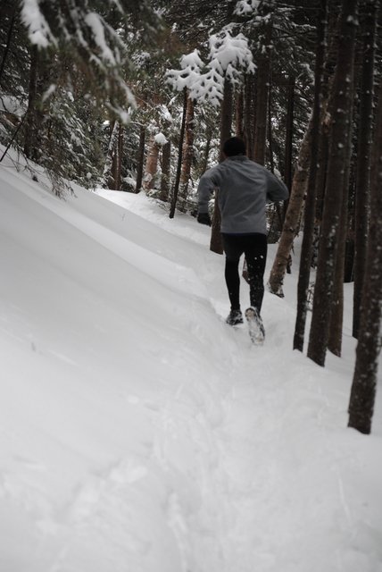
with a lot of boulder scrambling. In the
winter because of its shortness and awesome views this trail is almost always
well packed from snowshoes, which makes for much better running. It is some of
the most scenic running you will do in a 6-7 mile round trip anywhere in the
northeast but will absolutely kick your butt in the process. After the first
half mile to mile of gradual up hill the trail starts really climbing and
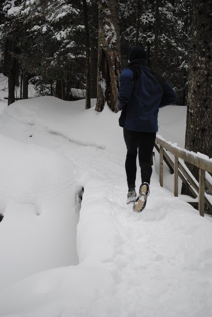
doesn’t stop till you hit the peak. The
falling waters trail officially starts when you take the right over the bridge
up to little haystack instead of going left up the old bridal path to Mt
Lafayette.
This
trail is named after the waterfalls you encounter on the trail however in these
winter conditions they are more walls of ice and snow. The first mile winds up
the side of the mountain crisscrossing over the stream which feeds each fall on
the trail. The trail climbs gradually with a few steeper sections gaining 450
ft in this first mile.
The second major fall, Swift water falls is at roughly the
mile mark on this trail. The trail runs
across the base of this 60 foot ice cliff and up the left side bringing you
adjacent to the top of the ice fall. At
the top of this hill you scramble up a small climb to the right and keep on
pushing up the mountain.
From here it gets a little steeper for the next half mile to
the third wall of ice on this run. You switch-back up the mountain running
along some cool and steep side hills.
This section gains another 550 feet for 1000 feet of
climbing at about 1.5 miles marked by Cloudland falls. This is roughly the halfway point to the
summit. At the base of the falls you
have to climb a steep rock section covered in ice followed by a 100ft section
of trail which is about 2 feet wide and runs up the side of the 80 foot falls
to the top.
In reality this section of trail is about a foot wide. If you where to step onto the unpacked shoulder you’d sink up to your knee which could very easily result in a fall off the side here. Use caution on this section. Up to this point bare trail shoes are fine, but beyond here micro spikes are recommended. Slipping on the trail up beyond this point can end up in a bad fall.
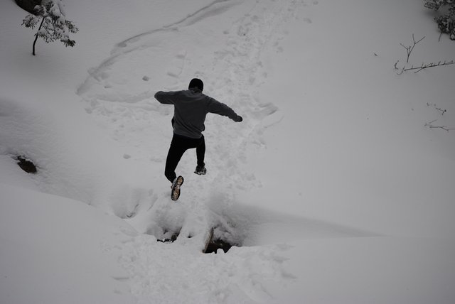
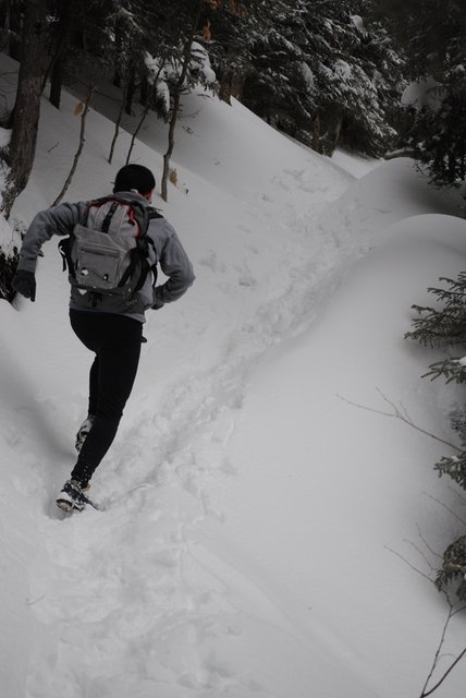
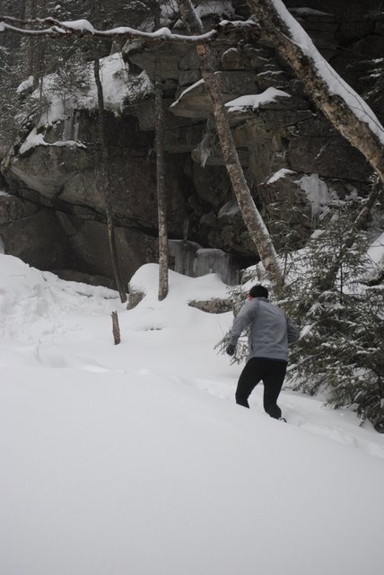
From here on out the real climbing begins. After climbing up next to the fall you run
over the stream into the woods on a section that felt like being on the moon in
these winter conditions.
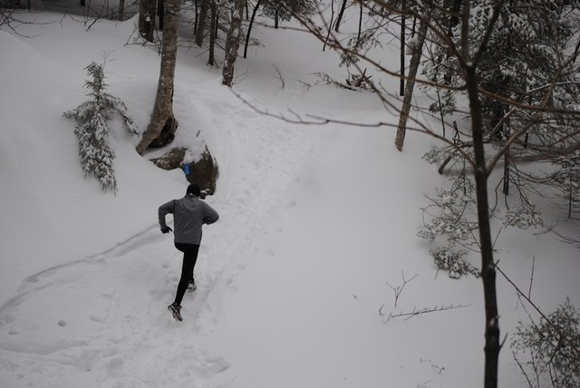
This was followed by
some nice climbing under cliffs, and through the thinning trees.
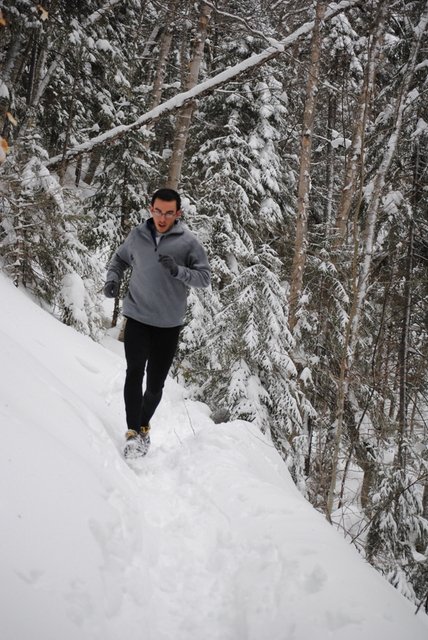
The great views begin coming during this last half of the
trail. The next stop is the cut off for
the side trip out to the shining rock cliff. This is a good spot to take a
break as well as put on a wind breaker before back tracking to the main trail
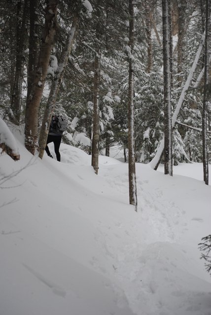
and entering the alpine zone. Even if
the run has been perfect weather all the way up, when you get above tree line
it is almost always windy and in the winter, this means some truly freezing
conditions. That 40 degree day becomes 10 when you get hit by the wind above
tree line.
Unfortunately due to a later than planned start and storms
blowing over the top of the mountain all day which would have made for no
visibility when we got out of the trees. I don’t have pictures of the section
above shining rock. So I put a call out to friends for some summit shots from a
past hike up this trail we did a few years back. This is the most scenic and difficult section
of the trail which kind of bummed us out that we couldn’t get out of the trees.
It’s a choice you need to make often when running in the mountains. When you’re
that far up with miles to get to the car and no one to help if you get in
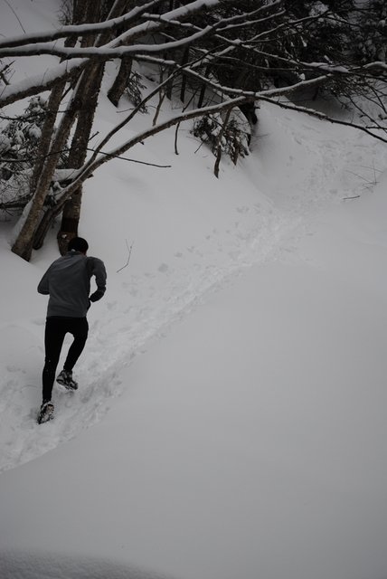
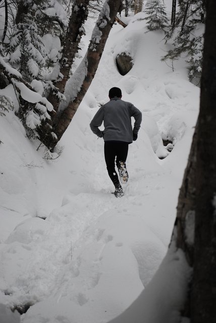
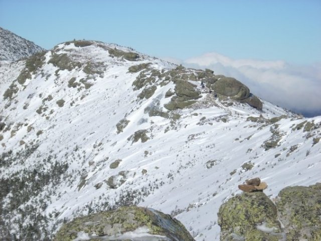
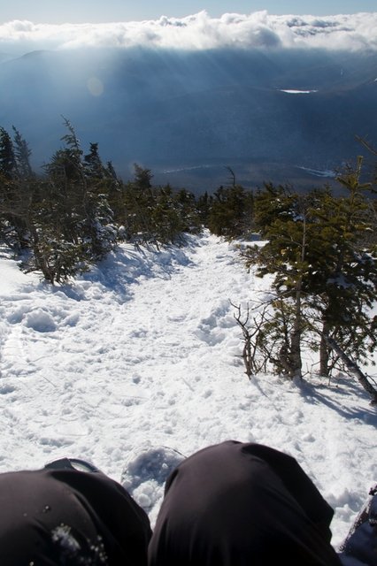
trouble, it is ALWAYS best to air on the side of caution. Once you start approaching the ominous alpine
zone sign warning of the worst weather in the world and past hikers who have
died in summer and winter the running becomes very difficult. It turns into a scramble/run since the trail
stops switch backing and takes a strait shot up to the peak when you leave the
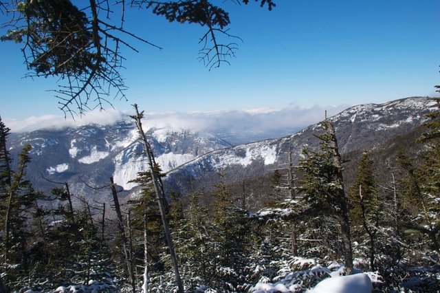
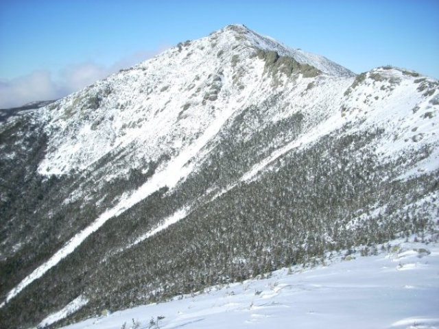
trees. Once you’re up there though, you
will be in awe of the amazing views and how small you feel being up there. The ridge to the left brings you over Mt.
Lincoln to Mt. Lafayette. Going to the
right brings you to Mt. Liberty and the Flume(Do not go near flume if you don’t
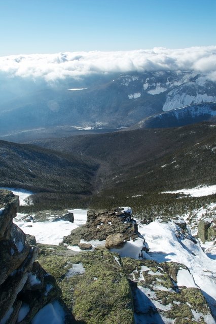
have full crampons, ice axes and experience with ice climbing). Directly over the back of the summit is an
amazing view of the pemi-wilderness. Off
the front of the summit are great views of Cannon Mountain and the Bond cliffs. From here you can go across to Lafayette if
you have crampons and do a loop back to the car taking the green leaf
trail. If you don’t have full crampons
you are best served turning around and going down where you came up. Enjoy the 3 mile descent and of course be
careful. This is an amazing places and
well worth the run up. hopefully I’ll see some of you on the trails up there. I
look forward to bringing more of these reviews to Flotrail. Running in the mountains in the winter is
slower but it is also an experience that most never get. Oh yea, here are the views I promised.
No comments:
Post a Comment